
Sams Point topographic map
Interactive map
Click on the map to display elevation.
About this map
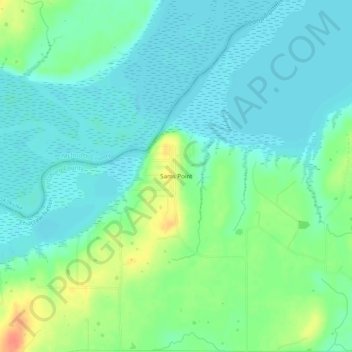
Name: Sams Point topographic map, elevation, terrain.
Location: Sams Point, Pittsburg County, Oklahoma, USA (35.17399 -95.71360 35.21399 -95.67360)
Average elevation: 190 m
Minimum elevation: 176 m
Maximum elevation: 224 m