
Fiji Island topographic map
Interactive map
Click on the map to display elevation.
About this map
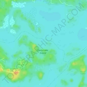
Name: Fiji Island topographic map, elevation, terrain.
Average elevation: 237 m
Minimum elevation: 230 m
Maximum elevation: 261 m
Other topographic maps
Click on a map to view its topography, its elevation and its terrain.
Ennismore
Canada > Ontario > Peterborough County > Selwyn
Ennismore, Selwyn, Peterborough County, Central Ontario, Ontario, K0L 1T0, Canada
Average elevation: 271 m