
Bayt Qatir topographic map
Interactive map
Click on the map to display elevation.
About this map
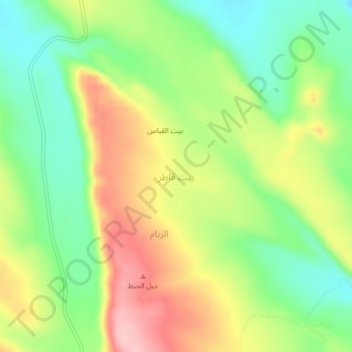
Name: Bayt Qatir topographic map, elevation, terrain.
Location: Bayt Qatir, Arhab District, Sana'a Governorate, Yemen (15.80313 44.26535 15.84313 44.30535)
Average elevation: 2,467 m
Minimum elevation: 2,394 m
Maximum elevation: 2,560 m