
Thank you for supporting this site ❤️
Make a donation
Make a donation
Biharipura topographic map
Click on the map to display elevation.
Thank you for supporting this site ❤️
Make a donation
Make a donation
About this map
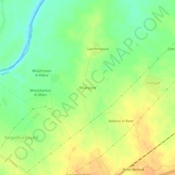
Name: Biharipura topographic map, elevation, terrain.
Location: Biharipura, Chittaurgarh Tehsil, Chittorgarh, Rajasthan, India (25.02395 74.73577 25.06395 74.77577)
Average elevation: 392 m
Minimum elevation: 374 m
Maximum elevation: 407 m
Thank you for supporting this site ❤️
Make a donation
Make a donation