
Thank you for supporting this site ❤️
Make a donation
Make a donation
West Mound topographic map
Click on the map to display elevation.
Thank you for supporting this site ❤️
Make a donation
Make a donation
About this map
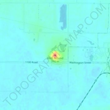
Name: West Mound topographic map, elevation, terrain.
Location: West Mound, Wilson County, Kansas, 66736, United States (37.53194 -95.85114 37.53204 -95.85104)
Average elevation: 263 m
Minimum elevation: 257 m
Maximum elevation: 315 m
Thank you for supporting this site ❤️
Make a donation
Make a donation
Other topographic maps
Click on a map to view its topography, its elevation and its terrain.