
Thank you for supporting this site ❤️
Make a donation
Make a donation
Kobuin topographic map
Click on the map to display elevation.
Thank you for supporting this site ❤️
Make a donation
Make a donation
About this map
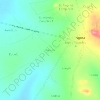
Name: Kobuin topographic map, elevation, terrain.
Location: Kobuin, Ngora, Eastern Region, Uganda (1.43171 33.74455 1.47171 33.78455)
Average elevation: 1,084 m
Minimum elevation: 1,049 m
Maximum elevation: 1,163 m
Thank you for supporting this site ❤️
Make a donation
Make a donation