
Fort Hancock topographic map
Click on the map to display elevation.
About this map
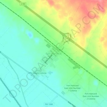
Name: Fort Hancock topographic map, elevation, terrain.
Location: Fort Hancock, Hudspeth County, Texas, 79839, United States (31.27802 -105.86579 31.31802 -105.82579)
Average elevation: 1,094 m
Minimum elevation: 1,064 m
Maximum elevation: 1,150 m
Other topographic maps
Click on a map to view its topography, its elevation and its terrain.