
Thank you for supporting this site ❤️
Make a donation
Make a donation
Ewaso topographic map
Click on the map to display elevation.
Thank you for supporting this site ❤️
Make a donation
Make a donation
About this map
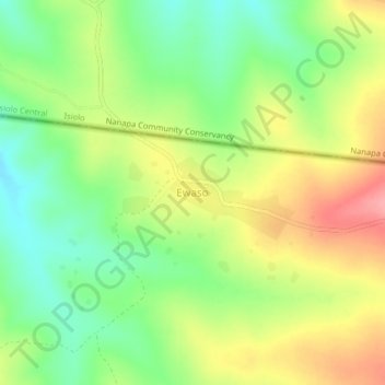
Name: Ewaso topographic map, elevation, terrain.
Location: Ewaso, Laikipia North, Laikipia County, Rift Valley, Kenya (0.53948 36.88138 0.57948 36.92138)
Average elevation: 1,614 m
Minimum elevation: 1,569 m
Maximum elevation: 1,669 m
Thank you for supporting this site ❤️
Make a donation
Make a donation
Other topographic maps
Click on a map to view its topography, its elevation and its terrain.
Naibunga Central Community Conservancy
Kenya > Laikipia County > Laikipia North > Tura
Average elevation: 1,735 m
Thank you for supporting this site ❤️
Make a donation
Make a donation