
Thank you for supporting this site ❤️
Make a donation
Make a donation
Shwe Kone topographic map
Click on the map to display elevation.
Thank you for supporting this site ❤️
Make a donation
Make a donation
About this map
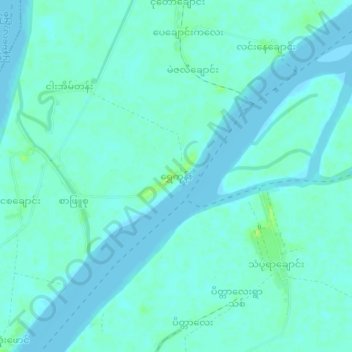
Name: Shwe Kone topographic map, elevation, terrain.
Location: Shwe Kone, Wakema Township, Myaungmya, Ayeyarwady, Myanmar (16.37325 95.04214 16.41325 95.08214)
Average elevation: 4 m
Minimum elevation: -1 m
Maximum elevation: 14 m
Thank you for supporting this site ❤️
Make a donation
Make a donation