
Boughezoul topographic map
Interactive map
Click on the map to display elevation.
About this map
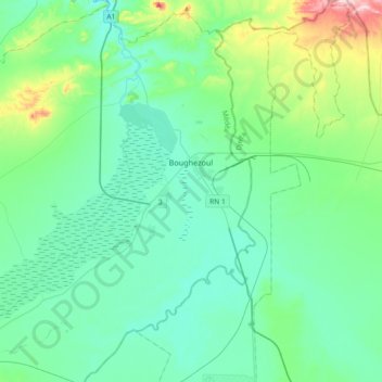
Name: Boughezoul topographic map, elevation, terrain.
Location: Boughezoul, Daïra Chahbounia, Médéa, RADP (35.53183 2.62908 35.82922 2.90450)
Average elevation: 673 m
Minimum elevation: 607 m
Maximum elevation: 980 m