
Thank you for supporting this site ❤️
Make a donation
Make a donation
Steigerts topographic map
Click on the map to display elevation.
Thank you for supporting this site ❤️
Make a donation
Make a donation
Steigerts
Die Statistisch-topographisch-historische Beschreibung des Großherzogthums Hessen berichtet 1829 über Steigerts.
Thank you for supporting this site ❤️
Make a donation
Make a donation
About this map
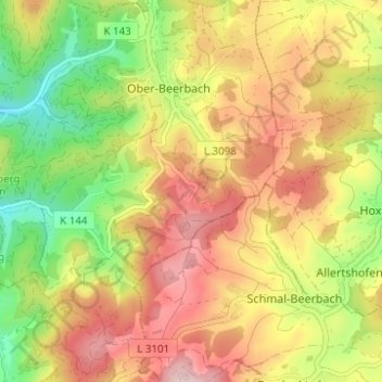
Name: Steigerts topographic map, elevation, terrain.
Average elevation: 332 m
Minimum elevation: 188 m
Maximum elevation: 467 m
Thank you for supporting this site ❤️
Make a donation
Make a donation