
Boggy Creek Watershed Site 13 Reservoir topographic map
Interactive map
Click on the map to display elevation.
About this map
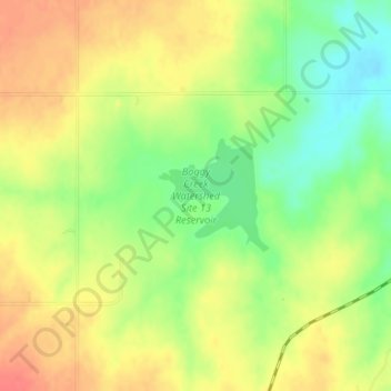
Name: Boggy Creek Watershed Site 13 Reservoir topographic map, elevation, terrain.
Average elevation: 523 m
Minimum elevation: 494 m
Maximum elevation: 546 m