
Thank you for supporting this site ❤️
Make a donation
Make a donation
McLain topographic map
Click on the map to display elevation.
Thank you for supporting this site ❤️
Make a donation
Make a donation
About this map
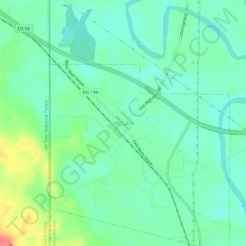
Name: McLain topographic map, elevation, terrain.
Location: McLain, Greene County, Mississippi, 39456, United States (31.08890 -88.84703 31.12890 -88.80703)
Average elevation: 26 m
Minimum elevation: 6 m
Maximum elevation: 74 m
Thank you for supporting this site ❤️
Make a donation
Make a donation