
Moutfort topographic map
Interactive map
Click on the map to display elevation.
About this map
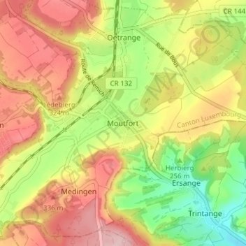
Name: Moutfort topographic map, elevation, terrain.
Location: Moutfort, Canton Luxembourg, 5335, Luxembourg (49.56606 6.23978 49.60606 6.27978)
Average elevation: 282 m
Minimum elevation: 181 m
Maximum elevation: 374 m