
Palmiste topographic map
Interactive map
Click on the map to display elevation.
About this map
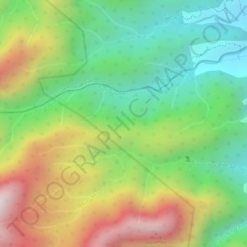
Name: Palmiste topographic map, elevation, terrain.
Location: Palmiste, La Plaine, Saint Patrick Parish, Dominica (15.32194 -61.28357 15.34194 -61.26357)
Average elevation: 409 m
Minimum elevation: 70 m
Maximum elevation: 857 m