
Leinde topographic map
Interactive map
Click on the map to display elevation.
About this map
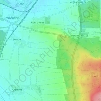
Name: Leinde topographic map, elevation, terrain.
Average elevation: 118 m
Minimum elevation: 89 m
Maximum elevation: 206 m
Other topographic maps
Click on a map to view its topography, its elevation and its terrain.
Heinrichstadt
Deutschland > Niedersachsen > Wolfenbüttel
Heinrichstadt, Wolfenbüttel, Landkreis Wolfenbüttel, Niedersachsen, Deutschland
Average elevation: 87 m