
Shinyanga topographic map
Interactive map
Click on the map to display elevation.
About this map
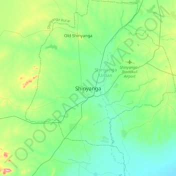
Name: Shinyanga topographic map, elevation, terrain.
Location: Shinyanga, Shinyanga Urban, Shinyanga, Seezone, 578, Tansania (-3.81620 33.26712 -3.49620 33.58712)
Average elevation: 1,159 m
Minimum elevation: 1,070 m
Maximum elevation: 1,469 m