
Tatkon topographic map
Interactive map
Click on the map to display elevation.
About this map
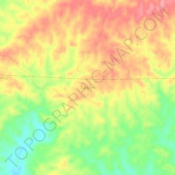
Name: Tatkon topographic map, elevation, terrain.
Location: Tatkon, Thayet District, Magway, Myanmar (19.44620 95.58196 19.48620 95.62196)
Average elevation: 262 m
Minimum elevation: 199 m
Maximum elevation: 312 m