
Thank you for supporting this site ❤️
Make a donation
Make a donation
Mount Moriah topographic map
Click on the map to display elevation.
Thank you for supporting this site ❤️
Make a donation
Make a donation
About this map
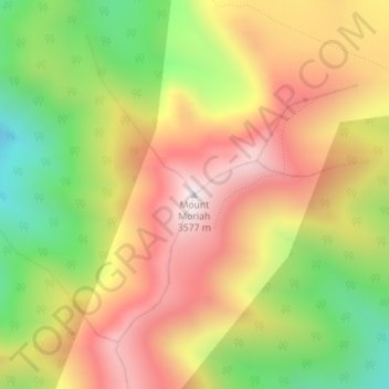
Name: Mount Moriah topographic map, elevation, terrain.
Location: Mount Moriah, White Pine County, Nevada, United States (39.27317 -114.19888 39.27327 -114.19878)
Average elevation: 3,295 m
Minimum elevation: 2,874 m
Maximum elevation: 3,671 m
Thank you for supporting this site ❤️
Make a donation
Make a donation