
Thank you for supporting this site ❤️
Make a donation
Make a donation
La Chorrera topographic map
Click on the map to display elevation.
Thank you for supporting this site ❤️
Make a donation
Make a donation
About this map
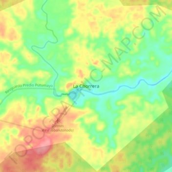
Name: La Chorrera topographic map, elevation, terrain.
Location: La Chorrera, Amazonas, RAP Amazonía, Colombia (-1.48201 -72.82894 -1.40201 -72.74894)
Average elevation: 135 m
Minimum elevation: 95 m
Maximum elevation: 185 m
Thank you for supporting this site ❤️
Make a donation
Make a donation