
Thank you for supporting this site ❤️
Make a donation
Make a donation
FELDA Pasir Besar topographic map
Click on the map to display elevation.
Thank you for supporting this site ❤️
Make a donation
Make a donation
About this map
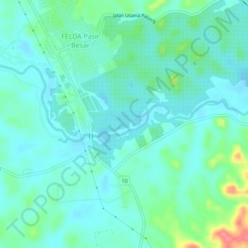
Name: FELDA Pasir Besar topographic map, elevation, terrain.
Location: FELDA Pasir Besar, Tampin, Negeri Sembilan, 73400, Malaysia (2.63451 102.51834 2.67451 102.55834)
Average elevation: 44 m
Minimum elevation: 27 m
Maximum elevation: 82 m
Thank you for supporting this site ❤️
Make a donation
Make a donation