
Grabs topographic map
Interactive map
Click on the map to display elevation.
About this map
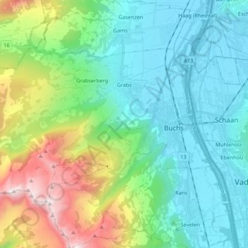
Name: Grabs topographic map, elevation, terrain.
Location: Grabs, Wahlkreis Werdenberg, Saint-Gall, 9472, Suisse (47.13054 9.31761 47.19819 9.47687)
Average elevation: 916 m
Minimum elevation: 436 m
Maximum elevation: 2,353 m