
Thank you for supporting this site ❤️
Make a donation
Make a donation
Royal Forest topographic map
Click on the map to display elevation.
Thank you for supporting this site ❤️
Make a donation
Make a donation
About this map
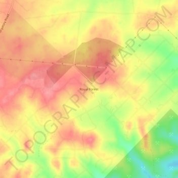
Name: Royal Forest topographic map, elevation, terrain.
Location: Royal Forest, Comal County, Texas, United States (29.82800 -98.10723 29.86800 -98.06723)
Average elevation: 306 m
Minimum elevation: 252 m
Maximum elevation: 335 m
Thank you for supporting this site ❤️
Make a donation
Make a donation