
Koewarasan topographic map
Interactive map
Click on the map to display elevation.
About this map
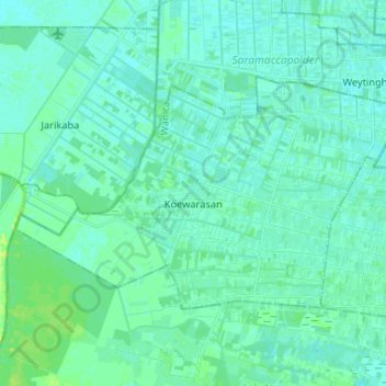
Name: Koewarasan topographic map, elevation, terrain.
Location: Koewarasan, Wanica, +597, Suriname (5.73345 -55.35125 5.81197 -55.22071)
Average elevation: 5 m
Minimum elevation: 1 m
Maximum elevation: 16 m