
Thank you for supporting this site ❤️
Make a donation
Make a donation
Lac L'Heureux topographic map
Click on the map to display elevation.
Thank you for supporting this site ❤️
Make a donation
Make a donation
About this map
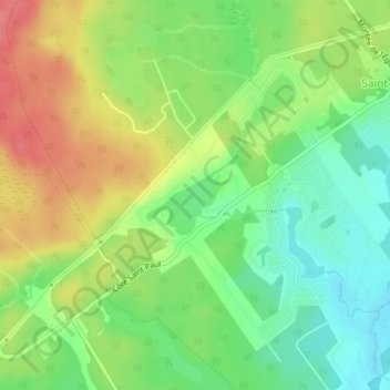
Name: Lac L'Heureux topographic map, elevation, terrain.
Average elevation: 172 m
Minimum elevation: 141 m
Maximum elevation: 210 m
Thank you for supporting this site ❤️
Make a donation
Make a donation
Other topographic maps
Click on a map to view its topography, its elevation and its terrain.
Saint-Colomban
Canada > Québec > La Rivière-du-Nord > Saint-Colomban > Saint-Colomban
Average elevation: 162 m