
Thank you for supporting this site ❤️
Make a donation
Make a donation
Plan-Conthey topographic map
Click on the map to display elevation.
Thank you for supporting this site ❤️
Make a donation
Make a donation
About this map
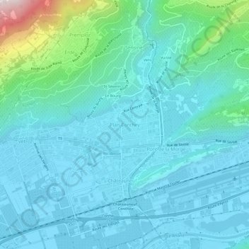
Name: Plan-Conthey topographic map, elevation, terrain.
Location: Plan-Conthey, Conthey, Valais, 1964, Suisse (46.20798 7.28442 46.24798 7.32442)
Average elevation: 600 m
Minimum elevation: 474 m
Maximum elevation: 1,348 m
Thank you for supporting this site ❤️
Make a donation
Make a donation