
Ketam topographic map
Interactive map
Click on the map to display elevation.
About this map
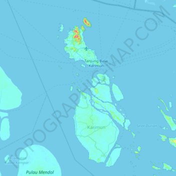
Name: Ketam topographic map, elevation, terrain.
Location: Ketam, Riau Islands, Indonesia (0.58861 103.07889 1.22861 103.71889)
Average elevation: 3 m
Minimum elevation: -2 m
Maximum elevation: 387 m
Other topographic maps
Click on a map to view its topography, its elevation and its terrain.