
Rubielos de Mora topographic map
Interactive map
Click on the map to display elevation.
About this map
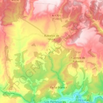
Name: Rubielos de Mora topographic map, elevation, terrain.
Location: Rubielos de Mora, Gúdar-Javalambre, Teruel, Aragón, Spanje (40.12743 -0.71746 40.22626 -0.59746)
Average elevation: 966 m
Minimum elevation: 608 m
Maximum elevation: 1,264 m