
Thank you for supporting this site ❤️
Make a donation
Make a donation
Moulden topographic map
Click on the map to display elevation.
Thank you for supporting this site ❤️
Make a donation
Make a donation
About this map
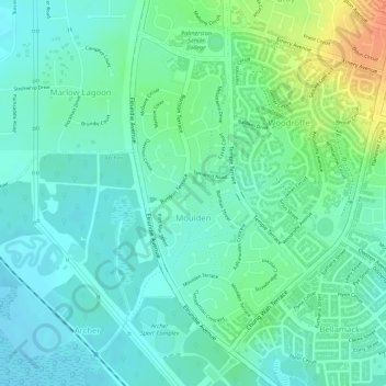
Name: Moulden topographic map, elevation, terrain.
Location: Moulden, City of Palmerston, Northern Territory, Australia (-12.51662 130.96810 -12.49433 130.98070)
Average elevation: 19 m
Minimum elevation: 5 m
Maximum elevation: 50 m
Thank you for supporting this site ❤️
Make a donation
Make a donation
Other topographic maps
Click on a map to view its topography, its elevation and its terrain.