
Point Lobos Ranch topographic map
Interactive map
Click on the map to display elevation.
About this map
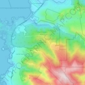
Name: Point Lobos Ranch topographic map, elevation, terrain.
Average elevation: 184 m
Minimum elevation: -3 m
Maximum elevation: 587 m
Other topographic maps
Click on a map to view its topography, its elevation and its terrain.
Carmel Highlands
USA > California > Carmel Highlands
Carmel Highlands, Monterey County, California, 93923, USA
Average elevation: 132 m