
Zierenberg topographic map
Interactive map
Click on the map to display elevation.
About this map
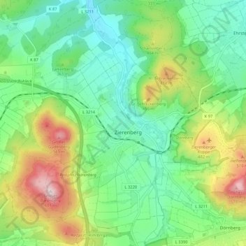
Name: Zierenberg topographic map, elevation, terrain.
Location: Zierenberg, Landkreis Kassel, Hessen, 34289, Duitsland (51.34126 9.24718 51.39910 9.35196)
Average elevation: 338 m
Minimum elevation: 211 m
Maximum elevation: 602 m