
Kirby Sigston topographic map
Interactive map
Click on the map to display elevation.
About this map
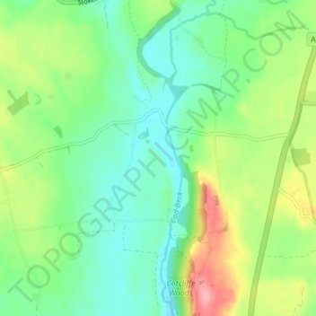
Name: Kirby Sigston topographic map, elevation, terrain.
Average elevation: 94 m
Minimum elevation: 59 m
Maximum elevation: 165 m
Other topographic maps
Click on a map to view its topography, its elevation and its terrain.
West Harlsey
United Kingdom > England > Hambleton
West Harlsey, Hambleton, North Yorkshire, Yorkshire and the Humber, England, United Kingdom
Average elevation: 78 m