
Uri topographic map
Interactive map
Click on the map to display elevation.
About this map
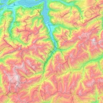
Name: Uri topographic map, elevation, terrain.
Location: Uri, Suíça (46.52763 8.39736 46.99341 8.95780)
Average elevation: 1,886 m
Minimum elevation: 426 m
Maximum elevation: 3,594 m
Other topographic maps
Click on a map to view its topography, its elevation and its terrain.
Realp
Suíça > Uri > Korporation Ursern
Realp, Korporation Ursern, Uri, 6491, Suíça
Average elevation: 2,282 m