
Méaban topographic map
Interactive map
Click on the map to display elevation.
About this map
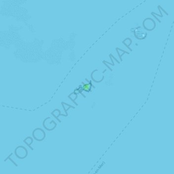
Name: Méaban topographic map, elevation, terrain.
Average elevation: 0 m
Minimum elevation: 0 m
Maximum elevation: 5 m
Other topographic maps
Click on a map to view its topography, its elevation and its terrain.
Île de la Jument (Er Gazeg)
Île de la Jument (Er Gazeg), Arzon, Vannes, Morbihan, Bretagne, France métropolitaine, 56640, France
Average elevation: 2 m