
Lexington Park topographic map
Interactive map
Click on the map to display elevation.
About this map
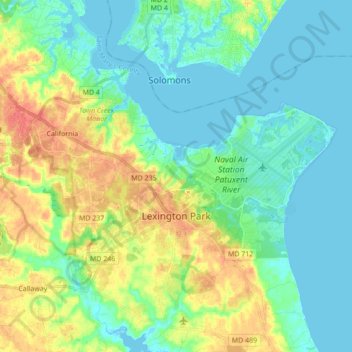
Name: Lexington Park topographic map, elevation, terrain.
Location: Lexington Park, Saint Mary's County, Maryland, USA (38.22235 -76.56848 38.33993 -76.39590)
Average elevation: 15 m
Minimum elevation: -2 m
Maximum elevation: 45 m