
Deutsch Kaltenbrunn topographic map
Interactive map
Click on the map to display elevation.
About this map
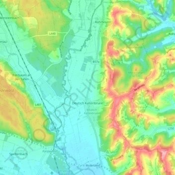
Name: Deutsch Kaltenbrunn topographic map, elevation, terrain.
Average elevation: 288 m
Minimum elevation: 246 m
Maximum elevation: 376 m
Other topographic maps
Click on a map to view its topography, its elevation and its terrain.
Rax
Österreich > Burgenland > Bezirk Jennersdorf > Jennersdorf > Rax
Rax, Jennersdorf, Bezirk Jennersdorf, Burgenland, 8380, Österreich
Average elevation: 260 m