
Ewart topographic map
Interactive map
Click on the map to display elevation.
About this map
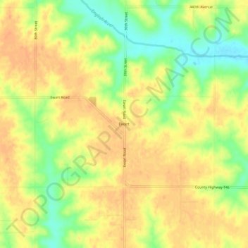
Name: Ewart topographic map, elevation, terrain.
Location: Ewart, Poweshiek County, Iowa, États-Unis d'Amérique (41.62111 -92.63047 41.66111 -92.59047)
Average elevation: 288 m
Minimum elevation: 264 m
Maximum elevation: 301 m