
Petina topographic map
Interactive map
Click on the map to display elevation.
About this map
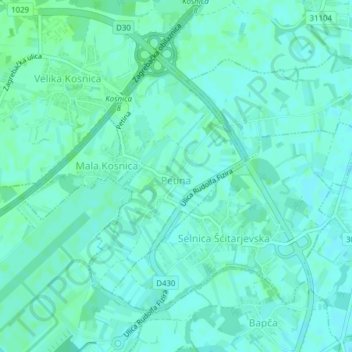
Name: Petina topographic map, elevation, terrain.
Location: Petina, City of Velika Gorica, Zagreb County, Croatia (45.74551 16.08264 45.76418 16.09986)
Average elevation: 105 m
Minimum elevation: 102 m
Maximum elevation: 109 m