
Vidette topographic map
Interactive map
Click on the map to display elevation.
About this map
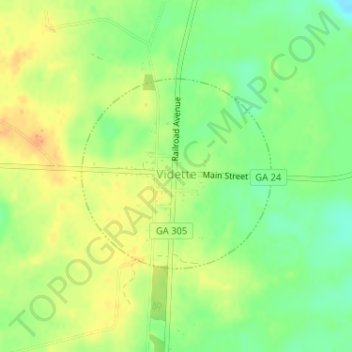
Name: Vidette topographic map, elevation, terrain.
Location: Vidette, Burke County, Géorgie, 30834, États-Unis d'Amérique (33.02944 -82.25703 33.04547 -82.23781)
Average elevation: 106 m
Minimum elevation: 87 m
Maximum elevation: 123 m