
阿勒泰地区 topographic map
Interactive map
Click on the map to display elevation.
About this map
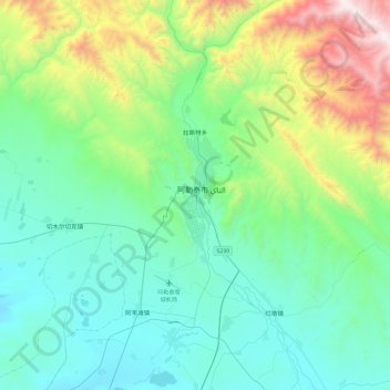
Name: 阿勒泰地区 topographic map, elevation, terrain.
Location: 阿勒泰地区, 喀拉玛盖镇, 福海县, 阿勒泰地区, Xinjiang, 836400, Chine (46.10018 87.43418 48.10018 89.43418)
Average elevation: 1,031 m
Minimum elevation: 385 m
Maximum elevation: 3,639 m