
Allen County topographic map
Interactive map
Click on the map to display elevation.
About this map
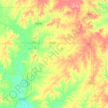
Name: Allen County topographic map, elevation, terrain.
Location: Allen County, Kansas, Estados Unidos de América (37.73261 -95.52619 38.03823 -95.07669)
Average elevation: 311 m
Minimum elevation: 275 m
Maximum elevation: 354 m