
Thank you for supporting this site ❤️
Make a donation
Make a donation
Nowhere topographic map
Click on the map to display elevation.
Thank you for supporting this site ❤️
Make a donation
Make a donation
About this map
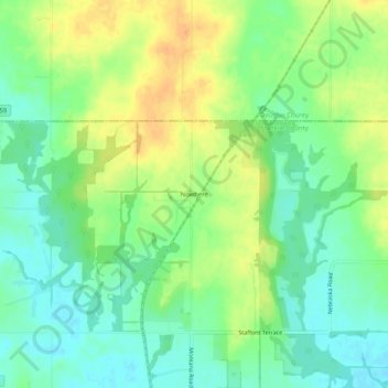
Name: Nowhere topographic map, elevation, terrain.
Location: Nowhere, Franklin County, Kansas, United States (38.71111 -95.26141 38.75111 -95.22141)
Average elevation: 301 m
Minimum elevation: 285 m
Maximum elevation: 320 m
Thank you for supporting this site ❤️
Make a donation
Make a donation