
Thank you for supporting this site ❤️
Make a donation
Make a donation
Keya topographic map
Click on the map to display elevation.
Thank you for supporting this site ❤️
Make a donation
Make a donation
About this map
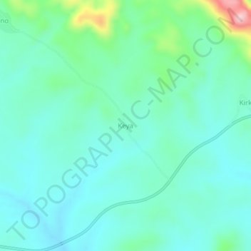
Name: Keya topographic map, elevation, terrain.
Location: Keya, Barde, Jema'A, État de Kaduna, Nigéria (9.31022 8.04315 9.35022 8.08315)
Average elevation: 535 m
Minimum elevation: 486 m
Maximum elevation: 732 m
Thank you for supporting this site ❤️
Make a donation
Make a donation