
Thank you for supporting this site ❤️
Make a donation
Make a donation
Falkaberget topographic map
Click on the map to display elevation.
Thank you for supporting this site ❤️
Make a donation
Make a donation
About this map
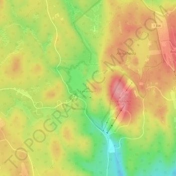
Name: Falkaberget topographic map, elevation, terrain.
Location: Falkaberget, Örebro kommun, Örebro County, 719 41, Sweden (59.33096 14.91680 59.33106 14.91690)
Average elevation: 224 m
Minimum elevation: 162 m
Maximum elevation: 272 m
Thank you for supporting this site ❤️
Make a donation
Make a donation
Other topographic maps
Click on a map to view its topography, its elevation and its terrain.