
Thank you for supporting this site ❤️
Make a donation
Make a donation
Kul Kalan topographic map
Click on the map to display elevation.
Thank you for supporting this site ❤️
Make a donation
Make a donation
About this map
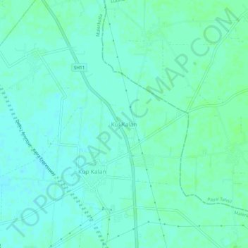
Name: Kul Kalan topographic map, elevation, terrain.
Location: Kul Kalan, Malerkotla Tahsil, Malerkotla, Punjab, India (30.59858 75.85620 30.63858 75.89620)
Average elevation: 250 m
Minimum elevation: 246 m
Maximum elevation: 253 m
Thank you for supporting this site ❤️
Make a donation
Make a donation