
Feldhausen topographic map
Interactive map
Click on the map to display elevation.
About this map
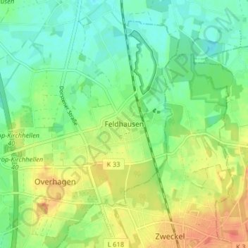
Name: Feldhausen topographic map, elevation, terrain.
Location: Feldhausen, Bottrop, Noordrijn-Westfalen, 45966, Duitsland (51.59229 6.94934 51.63229 6.98934)
Average elevation: 55 m
Minimum elevation: 36 m
Maximum elevation: 82 m