
Thank you for supporting this site ❤️
Make a donation
Make a donation
Saujana topographic map
Click on the map to display elevation.
Thank you for supporting this site ❤️
Make a donation
Make a donation
About this map
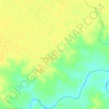
Name: Saujana topographic map, elevation, terrain.
Location: Saujana, Bhander Tahsil, Datia, Madhya Pradesh, India (25.89338 78.81520 25.93338 78.85520)
Average elevation: 165 m
Minimum elevation: 149 m
Maximum elevation: 174 m
Thank you for supporting this site ❤️
Make a donation
Make a donation
Other topographic maps
Click on a map to view its topography, its elevation and its terrain.