
Thank you for supporting this site ❤️
Make a donation
Make a donation
Sayre topographic map
Click on the map to display elevation.
Thank you for supporting this site ❤️
Make a donation
Make a donation
Sayre
Sayre is located on the North Fork of the Red River, at an elevation of 1,800 feet (550 m) and 128 miles (206 km) west of Oklahoma City. The area is dominated by low rolling red clay hills.
Thank you for supporting this site ❤️
Make a donation
Make a donation
About this map
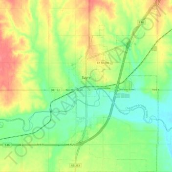
Name: Sayre topographic map, elevation, terrain.
Location: Sayre, Beckham County, Oklahoma, 73662, United States (35.24766 -99.65779 35.33907 -99.59298)
Average elevation: 567 m
Minimum elevation: 536 m
Maximum elevation: 605 m
Thank you for supporting this site ❤️
Make a donation
Make a donation
Other topographic maps
Click on a map to view its topography, its elevation and its terrain.