
Menstrie topographic map
Interactive map
Click on the map to display elevation.
About this map
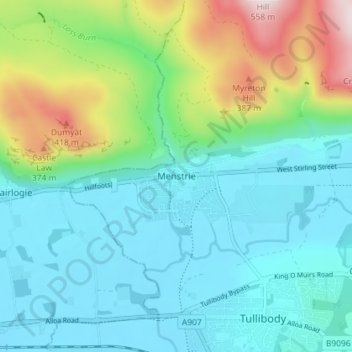
Name: Menstrie topographic map, elevation, terrain.
Location: Menstrie, Clackmannanshire, Écosse, FK11 7BL, Royaume-Uni (56.13142 -3.87377 56.17142 -3.83377)
Average elevation: 129 m
Minimum elevation: 3 m
Maximum elevation: 527 m