
Kapellebrug topographic map
Interactive map
Click on the map to display elevation.
About this map
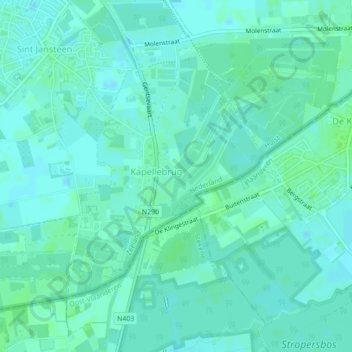
Name: Kapellebrug topographic map, elevation, terrain.
Location: Kapellebrug, Hulst, Seeland, Niederlande (51.24150 4.03982 51.26289 4.07891)
Average elevation: 4 m
Minimum elevation: 0 m
Maximum elevation: 8 m
Other topographic maps
Click on a map to view its topography, its elevation and its terrain.
Kloosterzande
Niederlande > Seeland > Hulst
Kloosterzande, Hulst, Seeland, Niederlande
Average elevation: 0 m
Nieuw Namen
Niederlande > Seeland > Hulst
Nieuw Namen, Hulst, Seeland, Niederlande
Average elevation: 1 m
Walsoorden
Niederlande > Seeland > Hulst
Walsoorden, Hulst, Seeland, Niederlande
Average elevation: 0 m